How Do Archeologists Know Where to Dig?
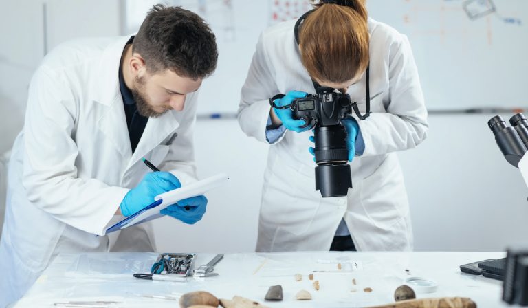
Archeologists rely on artifacts left behind to understand past human activity. To get these artifacts, they need to excavate areas with any evidence of human activity.
However, finding the location of these artifacts is not as easy as finding a giant pyramid. So, how do they do it?
How do archeologists know where to dig?
There are several ways for archeologists to determine where to excavate. They can conduct walking surveys or use modern technology like ground-penetrating radar (GPR). Archeologists also find digging sites by reading through primary documents and talking to the local population.
This article will discuss the sources of information archeologists use as we talk about how archeologists know where to dig.
How Do Archeologists Know Where to Dig?
Archeologists do not go wandering around while looking for where to dig. Instead, they let information from different sources guide their way.
Walking Survey
A walking survey is an old and simple method of identifying a dig site. It involves walking around with your eyes fixed on the ground, scanning for artifacts.
Walking surveys are either systematic or unsystematic.
Unsystematic walking surveys involve teams of surveyors walking around, looking for artifacts on the ground surface. Systematic walking surveys, on the other hand, are more complex.
Walking surveys are ideal for areas without vegetation, like plowed fields or deserts.
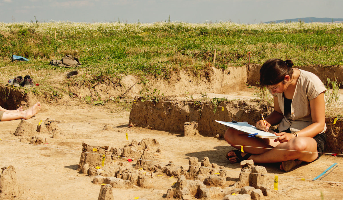
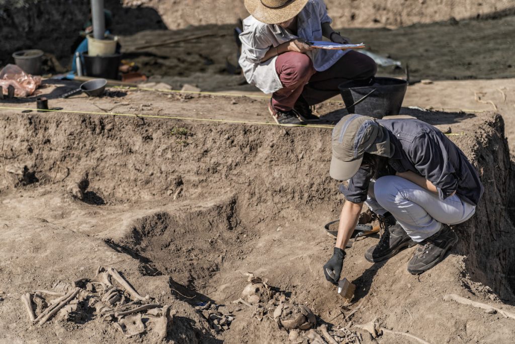
A surface survey is tricky in areas with a lot of vegetation, so archeologists dig small test pits to see if they find anything that indicates the site is worth exploring.
Archeologists use test pits to determine how many artifacts are beneath the ground surface. These test pits can also tell you where to find a concentration of artifacts.
Areas with numerous finds are ideal for future excavation. Dig spots with few or no items can indicate a lack of past human activity.
Examination of Primary Documents
Another way archeologists know where to dig is by examining primary documents.
A primary document is any text or written record of an event. Some well-known examples include old maps, books, clay tablets, etc.
Primary documents usually contain geographical information with detailed accounts of each event.
Once they have enough information about or from the past, archaeologists will have a good idea of some specific locations where the significant events occurred and where it may be worthwhile to excavate.
Air-Based Remote Sensing
Over the years, archeologists have adopted new methods of finding overlooked excavation sites. They refer to these techniques as remote sensing.
Remote sensing techniques allow archeologists to look through dense vegetation and discover what is hiding underneath.
For instance, examining aerial photographs can help archeologists discover potential dig sites. With aerial photography, features you do not notice when you walk on a landscape become visible from the air.
Aerial photography is quite handy over cropland.
Another handy remote sensing technology is LiDAR (Light Detecting and Ranging), which emits lasers at the ground surface and measures how long it takes to reflect off of a buried or hidden object.
By mounting LiDAR on aircraft, archeologists can generate detailed landscape models.
LiDAR also allows archeologists to penetrate dense vegetation and reveal sites that would take years to find with ground searches.
Geophysical Survey

Archeologists use two types of geophysical technology: ground penetrating radar (GPR) and magnetometry. These ground-based technologies help archeologists detect buried objects.
Each method measures a different physical property of the ground. As a result, choosing the ideal option for the site under investigation is essential.
Magnetometry
Magnetometry involves using a magnetometer to collect data from the soil, up to 2 meters (2.2 yards) below the surface.
Archeologists move the magnetometer along the surface of the survey area. Then they use the resulting data to make maps of the terrain below the surface.
Human activities such as digging, burning, and planting can alter the soil’s magnetic reading. So, archeologists count on such alterations while using magnetometry.
However, not all sites are ideal for magnetometry. For instance, areas with numerous modern structures like metal fences are unsuitable. Also, places that yield no magnetic contrast pattern are not viable.
Ground Penetrating Radar
As the name implies, ground-penetrating radar (GPR) emits ground-penetrating radio signals.
GPR is a non-invasive technology archeologists use to identify features and detect soil composition differences.
GPR operates on the principle that different materials, such as bedrock, archeological features, and stratigraphy (soil layers) have distinct chemical and physical properties.
And as a result, each substance transmits and reflects varying energy readings.
A GPR device can create a three-dimensional image of the underground environment. However, it still has limitations. The radio signals don’t reflect properly in wet clay soils.
Making Maps
Another way archeologists know where to dig is by plugging data from various sources into the geographical information system (GIS). Such data sources include remote sensing, geophysical survey, walking surveys, and archival searches.
The GIS software will take that information and create a map. This map will show the best places to survey based on the data provided.
Although the learning curve to using the GIS is steep, many archeologists use this tool.
Talking With the Locals

Archeological digs are usually a combined effort of teams from all over the world.
When you arrive in a foreign location looking for a potential dig site, the best thing to do is interact with the local residents. Asking them what they know about their local terrain is usually a productive strategy.
If the potential dig site experienced an abundance of human activities in the past, the locals should know. So, speaking with people who frequent or reside in an area is an excellent way to pinpoint a dig site.
Final Thoughts
As you can see, archeologists employ many methods to find unseen artifacts and determine where to dig. From GPR to walking surveys, archeologists can use at least one approach in their search for hidden treasures.
Resources:
- https://www.discovermagazine.com/planet-earth/how-archaeologists-know-where-to-dig
- https://theconversation.com/how-do-archaeologists-know-where-to-dig-147176
- https://bonebroke.org/2015/02/27/how-do-archaeologists-find-sites/
- https://www.saa.org/about-archaeology/what-do-archaeologists-do
- https://sandiegoarchaeology.org/dig-deeper-how-do-archaeologists-know-where-to-dig/
- https://www.digitwithraven.com/single-post/How-do-Archaeologists-Find-Sites
- https://lisbdnet.com/how-do-archaeologists-know-where-to-dig/
- https://stoneageman.com/how-do-archaeologists-locate-sites/
- https://www.futurelearn.com/info/courses/archaeology/0/steps/15252